

The topography of Darfur is more than just a backdrop; it is the living, dynamic canvas upon which the region’s history and culture have been painted. From sweeping deserts and rugged highlands to fertile river valleys and isolated plateaus, Darfur’s physical landscape has directly influenced how communities settle, thrive, and adapt to both natural and human-driven challenges.
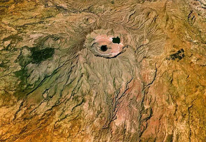
A Tapestry of Landforms
Darfur’s diverse topography is a testament to its complex natural history. Key features include:
- Expansive Deserts: Vast arid zones characterized by shifting sands and sparse vegetation. These deserts challenge water management and agricultural practices but have also fostered ingenious resilience in local communities.
- Plateaus and Highlands: Broad, elevated flats and rugged highlands form a significant part of Darfur’s landscape. These areas influence local climate patterns and serve as natural watersheds, channeling precious water to lower-lying areas.
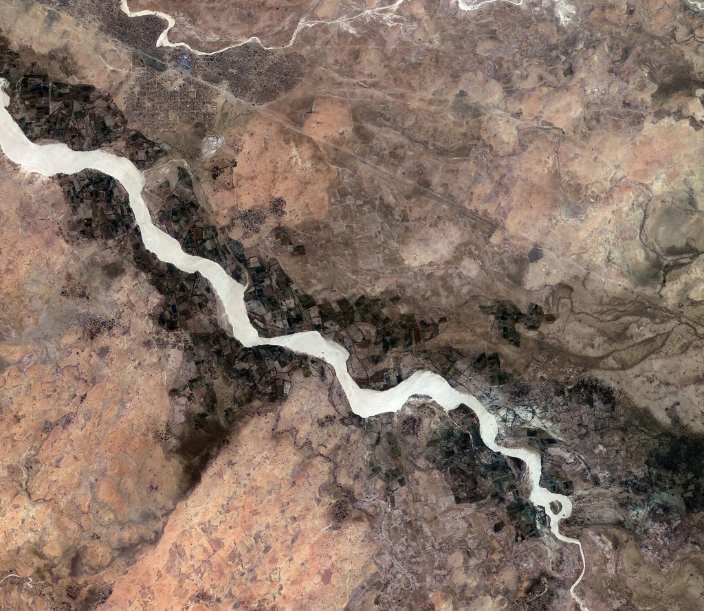
- River Valleys and Oases: Despite an overarching arid climate, seasonal rivers and scattered oases provide vital pockets of fertility. These water-rich landscapes are essential for agriculture, have historically become hubs of settlement, and act as natural corridors for trade.
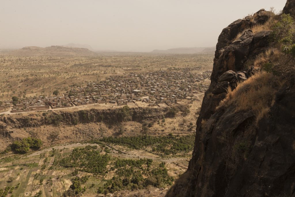
- Hills and Rocky Outcrops: Scattered hills and rocky formations add texture to the region’s topography. They not only provide shelter and resources for local populations but also signal ancient geological processes that have shaped the land over millennia.
How Topography Shapes Life
The physical features of Darfur are inextricably linked to the social, cultural, and economic life of its people:
- Settlement Patterns: Communities have traditionally flourished along river banks and in areas where the land offers easier access to water and arable soil. The natural barriers created by deserts and highlands have also influenced migration routes and trade networks.
- Agriculture and Livelihoods: The interplay between fertile valleys and arid regions has driven communities to develop innovative water-conservation techniques and adaptive farming methods. These practices harness the limited rainfall and channel natural water sources effectively.
- Cultural and Historical Narratives: Topography plays a critical role in shaping regional identity. Oral histories and ancestral traditions often reference the land—its harsh expanses, life-giving oases, and imposing mountains—as symbols of struggle and endurance.
Environmental Challenges and Adaptations
Darfur’s dynamic topography brings with it both challenges and opportunities:
- Desertification and Erosion: The expansive arid zones are susceptible to processes of desertification, which, combined with variable rainfall, can lead to erosion and a gradual loss of soil fertility. Local communities have increasingly relied on adaptive practices to mitigate these effects.
- Water Scarcity: In areas where water is naturally scarce, communities prioritize resource management. Traditional systems of rainwater harvesting and modern conservation techniques coexist, ensuring that the limited water available is used sustainably.
- Sustainable Land Management: Innovations in sustainable agriculture and land-use planning are vital. By blending traditional knowledge with contemporary research, Darfur’s inhabitants continue to find ways to coexist with, rather than conquer, the challenges imposed by their environment.
Exploring Darfur’s Topography
At Darfur 2030, understanding the intricate details of the land is paramount. Our interactive tools and digital maps offer:
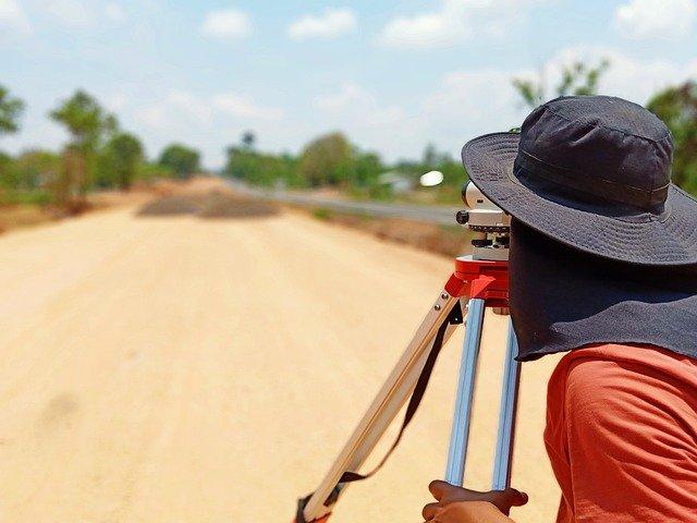
- Detailed Topographical Maps: Explore layers of information that reveal mountains, valleys, deserts, and waterways—each influencing local life in unique ways.
- Satellite Imagery and GIS Data: Dive into real-time data and historical imagery to observe how natural features have evolved over time.
- Educational Resources: Learn about the geological processes that formed Darfur’s varied landscapes and how these features continue to impact environmental and economic planning today.
Darfur’s topography is a dynamic narrative etched into the very fabric of the region. It is a story of resilience—a record of ancient geological forces, transformative climatic cycles, and the innovative spirit of its people. By understanding the landscape, we gain deeper insights into the challenges and opportunities that shape not only Darfur’s past but also its future.